Open by default.
Built on free satellite data from NASA, ESA and partners, so any agency or community can use it, check it and improve it.
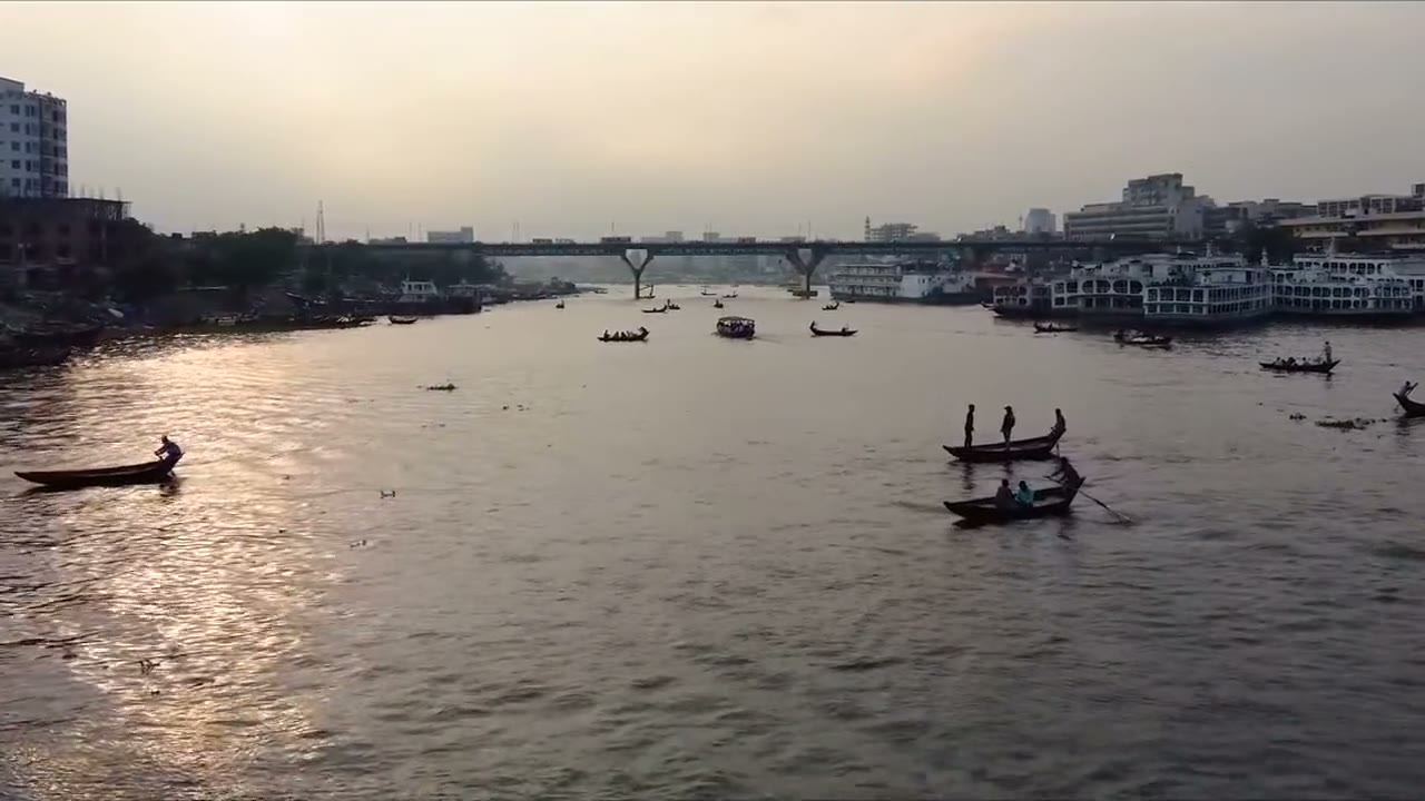
Millions live on riverbanks that move. We want every family to know where the river is heading, and every planner to know where help is needed first.
What we believe
Built on free satellite data from NASA, ESA and partners, so any agency or community can use it, check it and improve it.
Every number says where it came from and how sure we are. Nothing is illustrative, and nothing is dressed up as a forecast.
Risk, people and land in one place, so engineers and planners can choose where to look first with limited budgets.
Where we are heading
Process new radar passes as they arrive, so changes show up within days, not after the season.
Compare the same season across years to turn early warning signs into measured rates of bank loss.
Work with water agencies and riverbank communities so the map answers the questions they actually ask.